The High Accuracy Service (HAS) of the European satellite positioning system Galileo is now operational
The Galileo High Accuracy Service (HAS) is open to all users and free of charge. The new service has potential uses in, for example, agriculture and forestry.
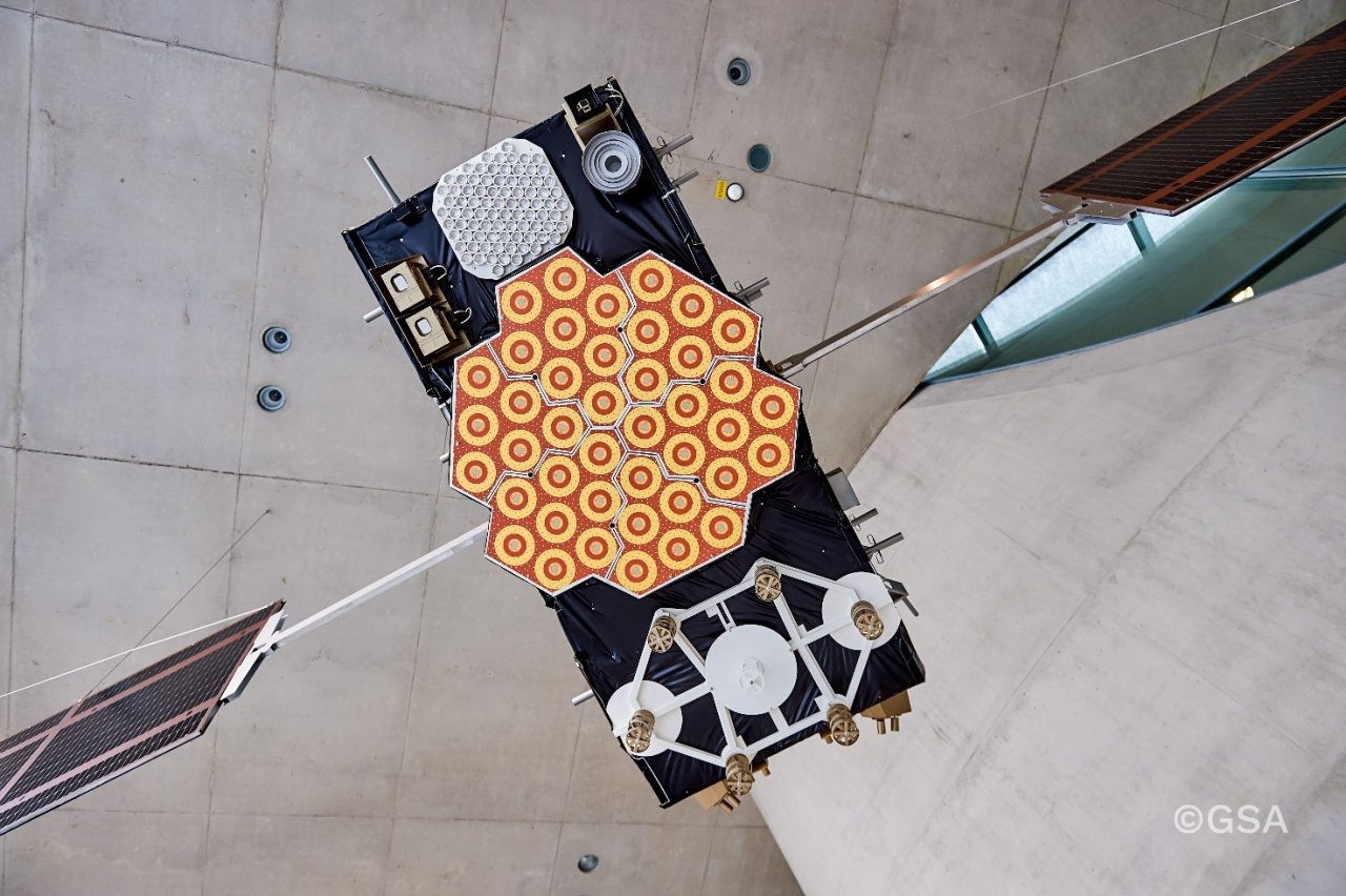
A model of a Galileo satellite demonstrated at the Galileo Control Centre. The Galileo system consists of 24 satellites that transmit positioning signals and HAS corrections. Photo: ©EUSPA, ©European Union Agency for the Space Programme
Galileo is a global navigation satellite system (GNSS) built by the European Union and the only such system to remain under civilian control. The majority of the services in the system have been available since 2016. With the introduction of HAS, Galileo is the first global satellite navigation system to provide accurate corrections free of charge.
HAS provides benefits for smart transport and bioeconomy, among others
Galileo HAS provides precise corrections for users through Galileo satellites, improving the accuracy of positioning. If it were not for the corrections provided by HAS, the accuracy of satellite positioning would be a few metres. The new service provides its users with a positioning accuracy of approximately 20 cm. The user’s device receives HAS corrections together with regular positioning signals from satellites and computes a high-accuracy positioning.
– Agriculture and forestry may gain significant benefits if the accuracy provided by HAS is sufficient for example for ploughing or defining felling areas. The service is also expected to provide significant benefits for smart transport, as the estimated accuracy will be sufficient to define the lane each car is in when the conditions are just right, says Topi Rikkinen, Senior Specialist at the National Land Survey of Finland (NLS).
Corrections provided in an entirely new way
HAS corrections are transmitted from all Galileo satellites. This differs from other similar services, in which corrections are transmitted from a few geosynchronous satellites or through the data communications network. However, the visibility of geosynchronous satellites is limited in the southern sky, and data connections are not available in all conditions. The use of Galileo HAS requires no external transmission of corrections, as its corrections are available whenever the Galileo system is available.
To use HAS, the user’s satellite positioning equipment must be able to receive Galileo signals over the E6 frequency band (1,278.75 MHz). It must also be able to use the corrections based on Precise Point Positioning (PPP) methods. Equipment that can use HAS corrections is expected to be available on the market soon.
– The rapid adoption of new system features in different areas of application allows society to evolve and provides Finnish companies with a competitive edge. However, this calls for international influencing and proactive research to build expertise. It is important that Finland has a strong culture of cooperation between different organisations, says Tero Vihavainen, Chief Specialist at Traficom.
Power of cooperation
The Finnish Transport and Communications Agency Traficom is the authority responsible for the service production of the European Galileo satellite positioning system in Finland. Traficom also participates in EU working groups that steer the Galileo system’s operations and development. The National Land Survey (NLS) provides and uses services related to satellite positioning, and the Finnish Geospatial Research Institute (FGI) of the NLS studies satellite positioning broadly. The organisations are engaged in cooperation in the field of satellite positioning.